In our favorite pilot book (basically a guidebook for anchorages and navigation) for Baja California, Jack Williams breaks down the peninsula into a succession of alternating reaches and bights. Reaches are more or less straight lines of coast which display many protected shelters against prevalent winds, while bights are larger bay (open over ~100 nautical miles) that the prevalent winds carved into sections of non mountainous lower landscapes. For that very reason, the bights don't offer any protection and very few anchorages of questionable quality. Therefore, many cruisers traveling down the coast simply sail pass the three bights and preferably visit the reaches.
We had come close to the end of the first reach (the longest of all three) with Isla San Martin and had to prepare for the 140 nm jump over Bahia Vizcaino (the first bight). Our first stop, slightly ahead of the "official" beginning of the second reach, would be at another island, Isla Cedros. Taking advantage of the internet on Isla San Martin to check the weather forecast, we saw that starting Thursday, March 4th, the next day, prevalent North West winds were back and sustained for the following week or so. Excellent news for anyone sailing down the cost worried about preserving fuel! Our weather window for crossing the bight was right there: an afternoon, a night and a full day of sustained winds in the range of 12 to 20 knots!
But why rush it if the winds are sustained for the all week you might ask. First, our anchorage in Isla San Martin might not be as protected as it is from the Southlies and second, the prevalent winds seem to be increasing after those couple of days to levels that may be fine to sail in, but that, since we had a choice, we'd rather encounter in the reach that offers plenty of protection if needed as opposed to in the middle of bight, which is as "offshore" as our route gets so far.
Long story short: We were casting of the next day for a 140 nm / likely 30ish hour sail at around noon. Some cooking was done the previous day to ensure we'd have ready-to-go food in case the conditions were too uncomfortable to cook: we supplemented our left over lentil-cabbage-sausage meal by another one with pasta, pesto and mozzarella and were ready for the next day!
By noon, the crew was almost ready and the northerly wind made its first appearance as Tire-bouchon turned around the hook facing the tip of the island. Time to weigh the anchor! We started by raising the main, starting Monsieur Engine and engaged the windlass.
Once the hook was free from the sand bottom, we started sailing right into the pangas moored next to us. We need to tack but we do not have enough boat speed to complete the tack yet. We are sailing main only, with some 15 feet of chain still hanging down from the bow as Marie is operating the windlass. There is a saying at Cal Sailing Club, "to avoid it, first steer to it". This perfectly applies to us at the moment. In order to pick up some speed I quickly fall off and ease the mainsail. Now we are steering towards the panga some 4-5 boat lengths away with our sail holding its shape nicely. There are two options from here on, either the boat starts picking up speed in the direction we face which makes it possible to tack and go away, or the boat keeps drifting sideways without much helm control, which means we are not in a collision course anymore. I am always delighted with the sail handling performance of our boat and this moment is no exception. We quickly pick up speed and tack our way out of this lovely anchorage. No need for your service Monsieur Engine, it's time to rest. Marie is done with the anchor at the bow and comes back to the cockpit slightly disappointed. "We could have completed the entire maneuver without the engine power", referring to the part we used the engine to drive over the anchor. Next time we should try!
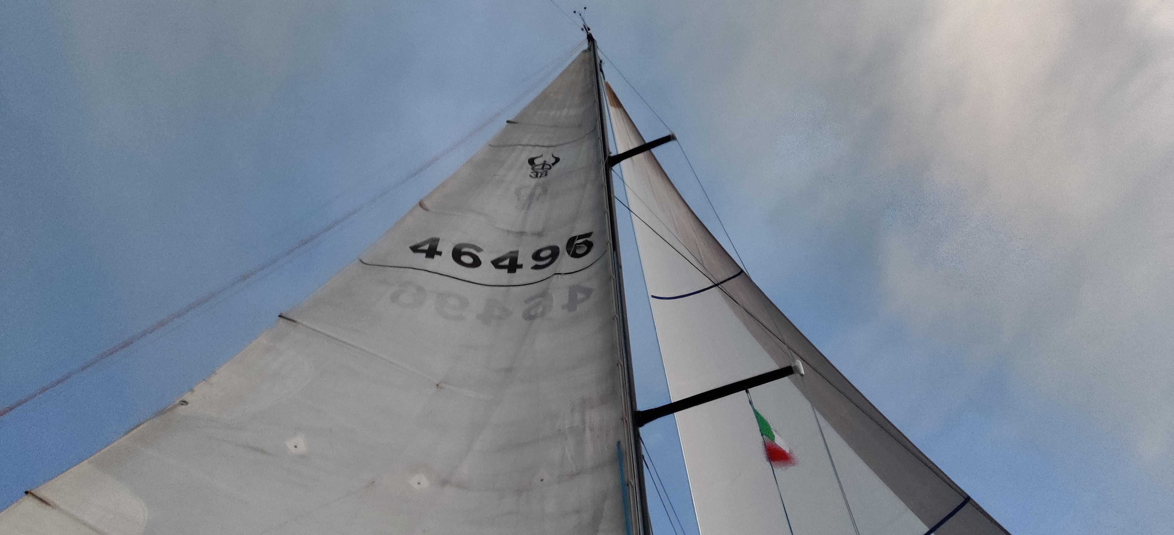
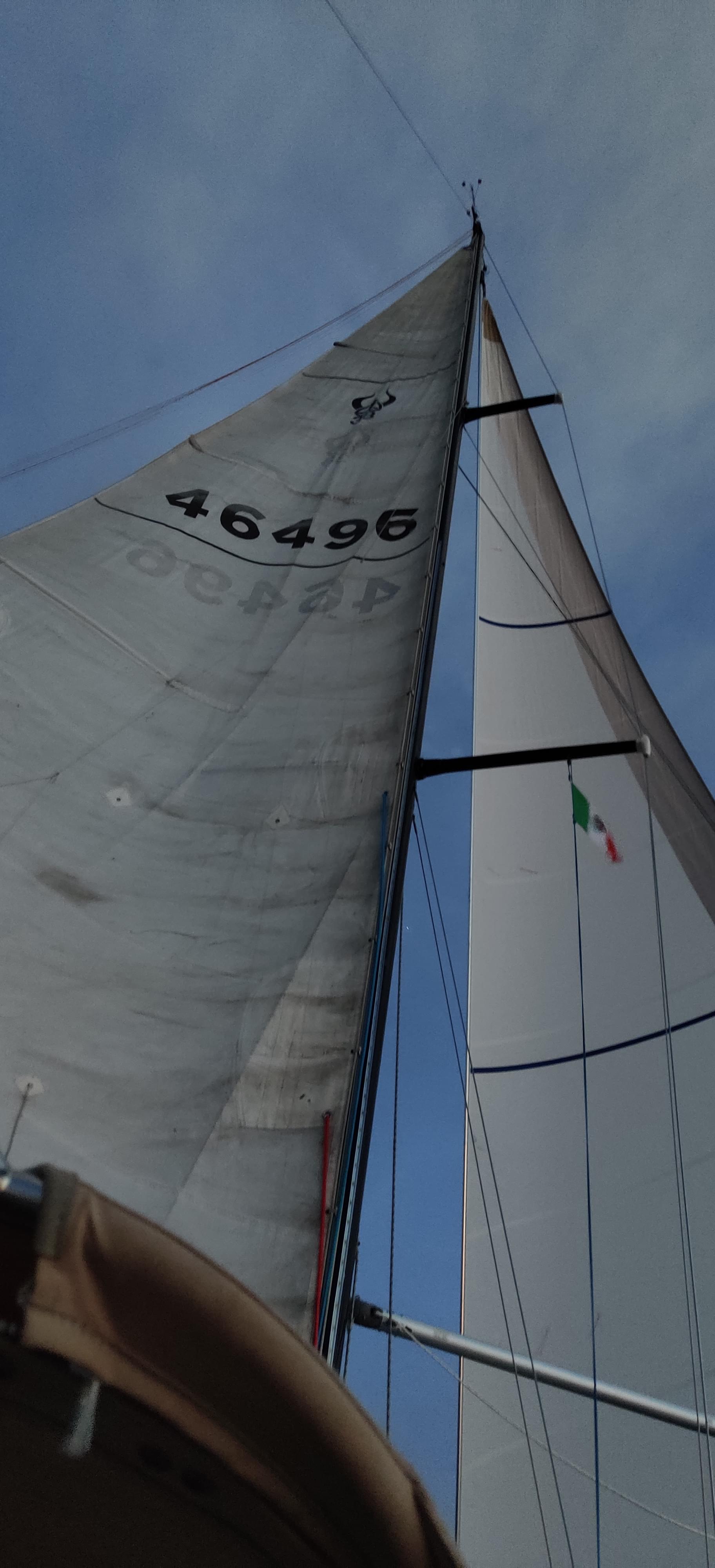
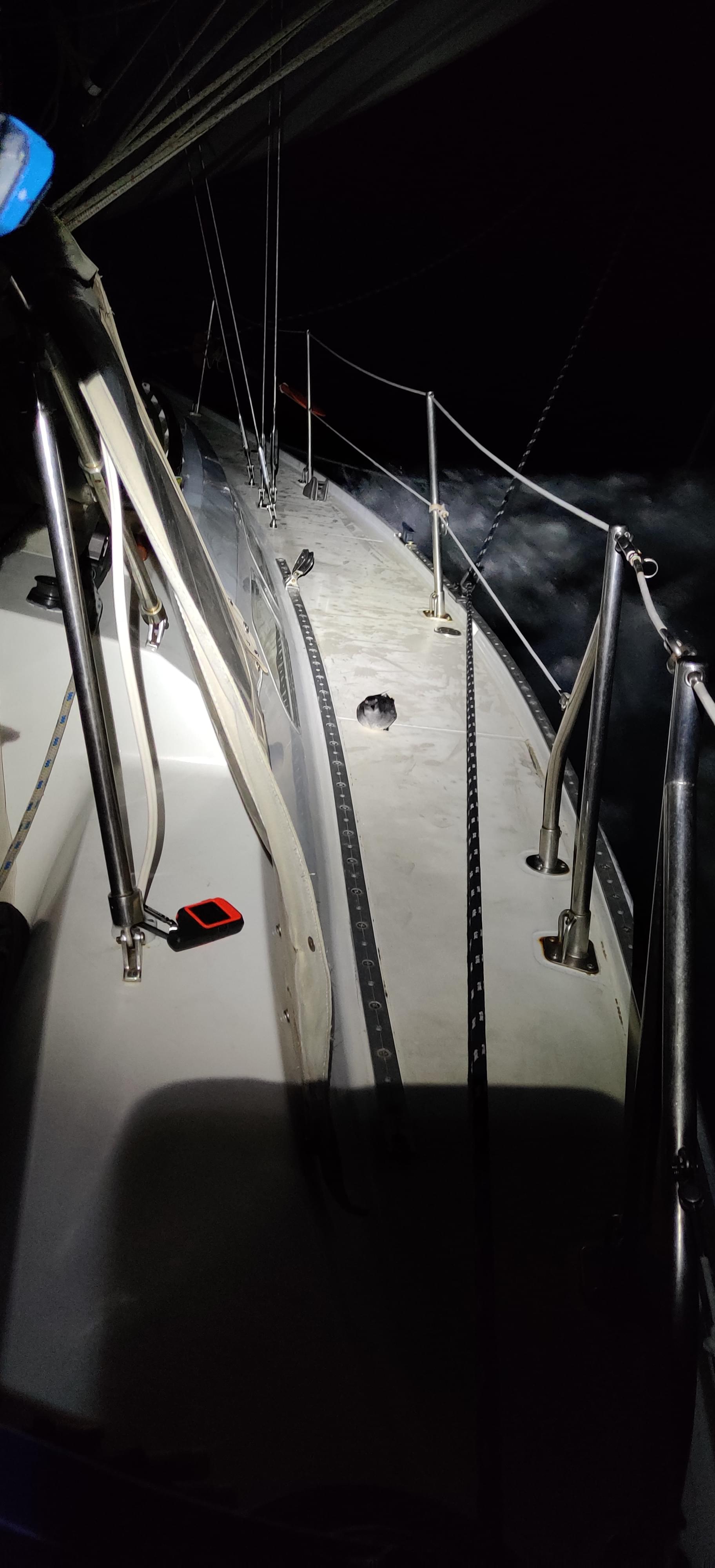
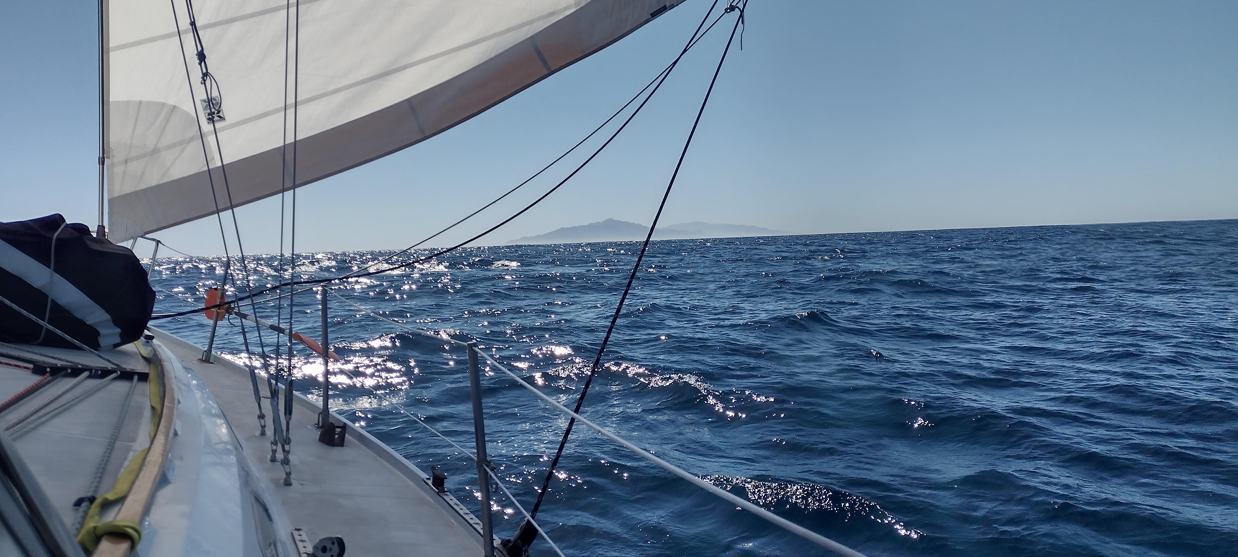
The next goal for me is to set the self steering vane, a.k.a Avocet the helms lady. This is a long leg almost dead downwind and we are hoping to do many more similar courses. This is the first big test of Avocet. Right after going around the island, we have a nice 12 to 15 knots of wind and Avocet is steering us in a broad reach. There are a few reefs to avoid. Ben's rock and Sacramento reef. So we are not going straight to Isla Cedros yet. We are not steering towards these reefs either, the above CSC tactic doesn't apply here. By the time we are clear of these shallow points we set the whisker pole, first time since we bought it in Berkeley, and start going dead downwind. Okay Avocet, do we have a deal? You keep the wind behind us, we will make sure it is water flowing through your rudder.
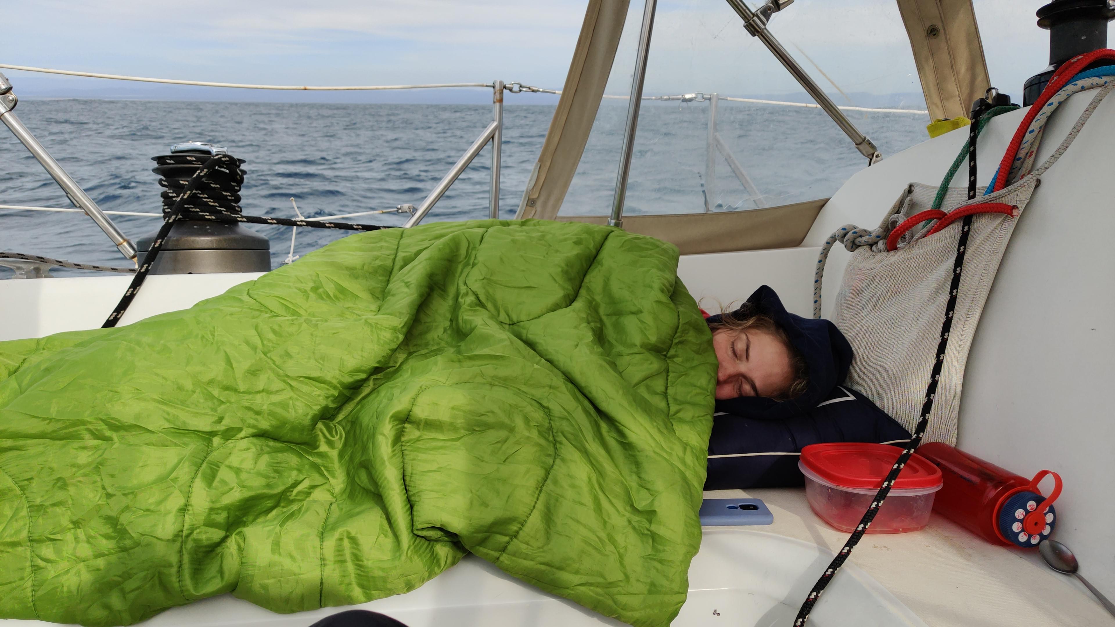
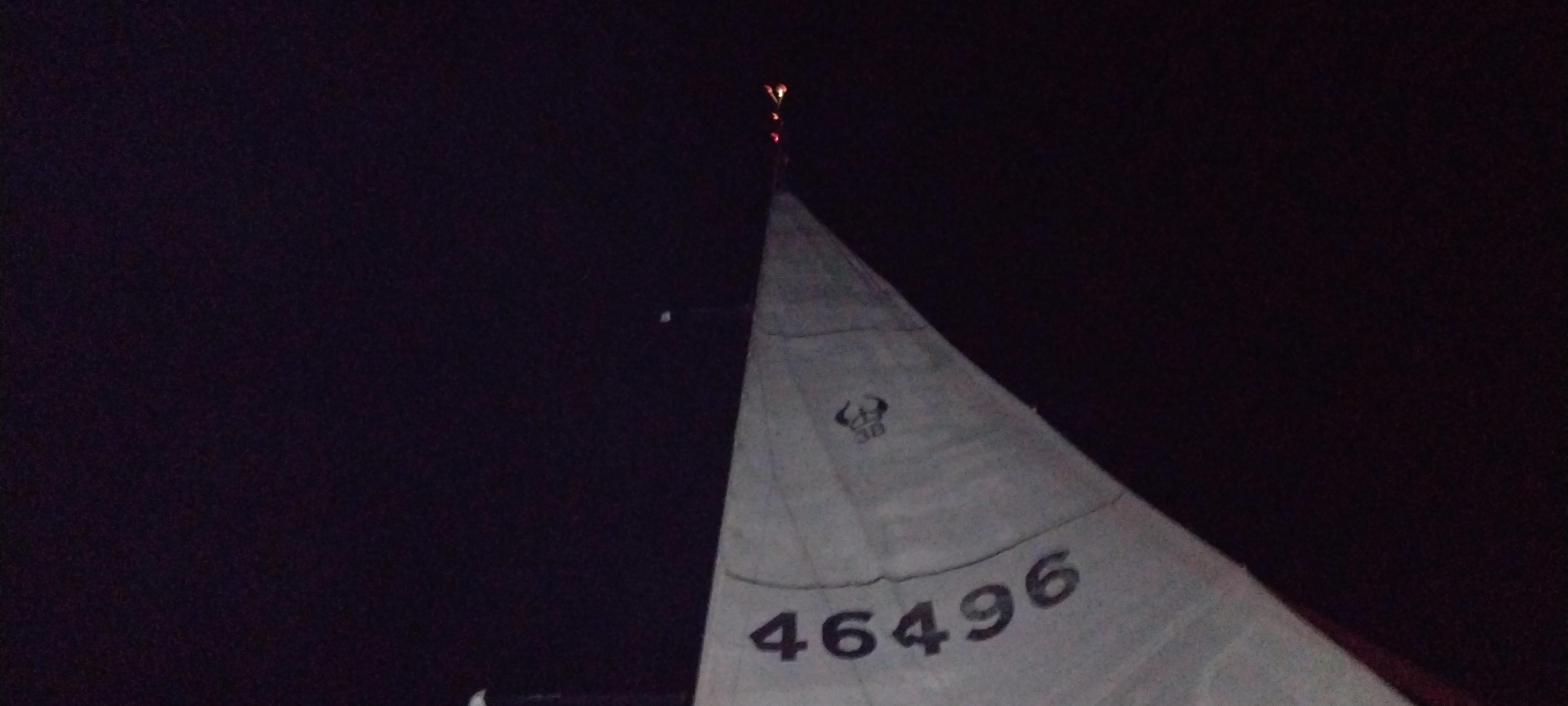
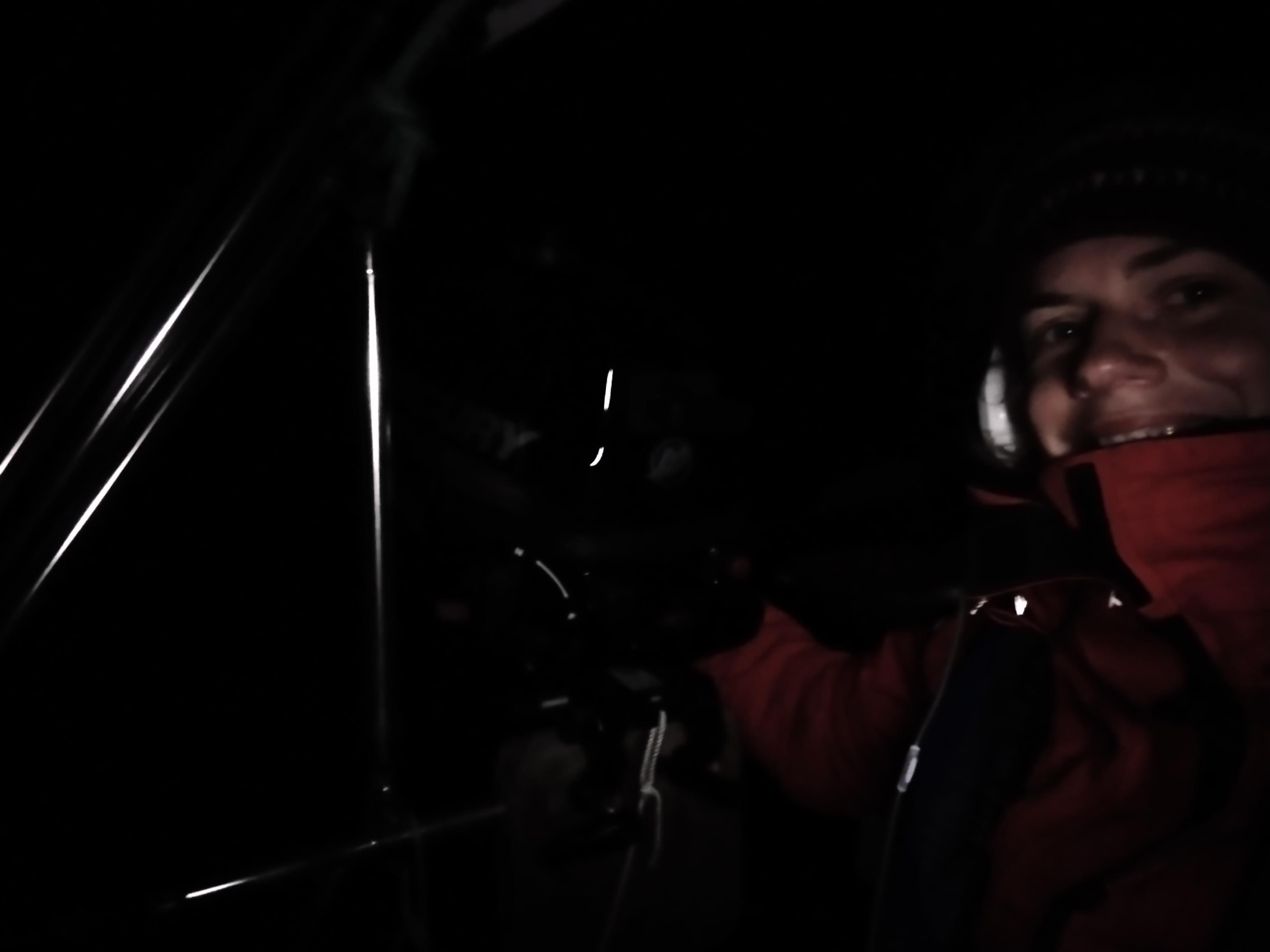
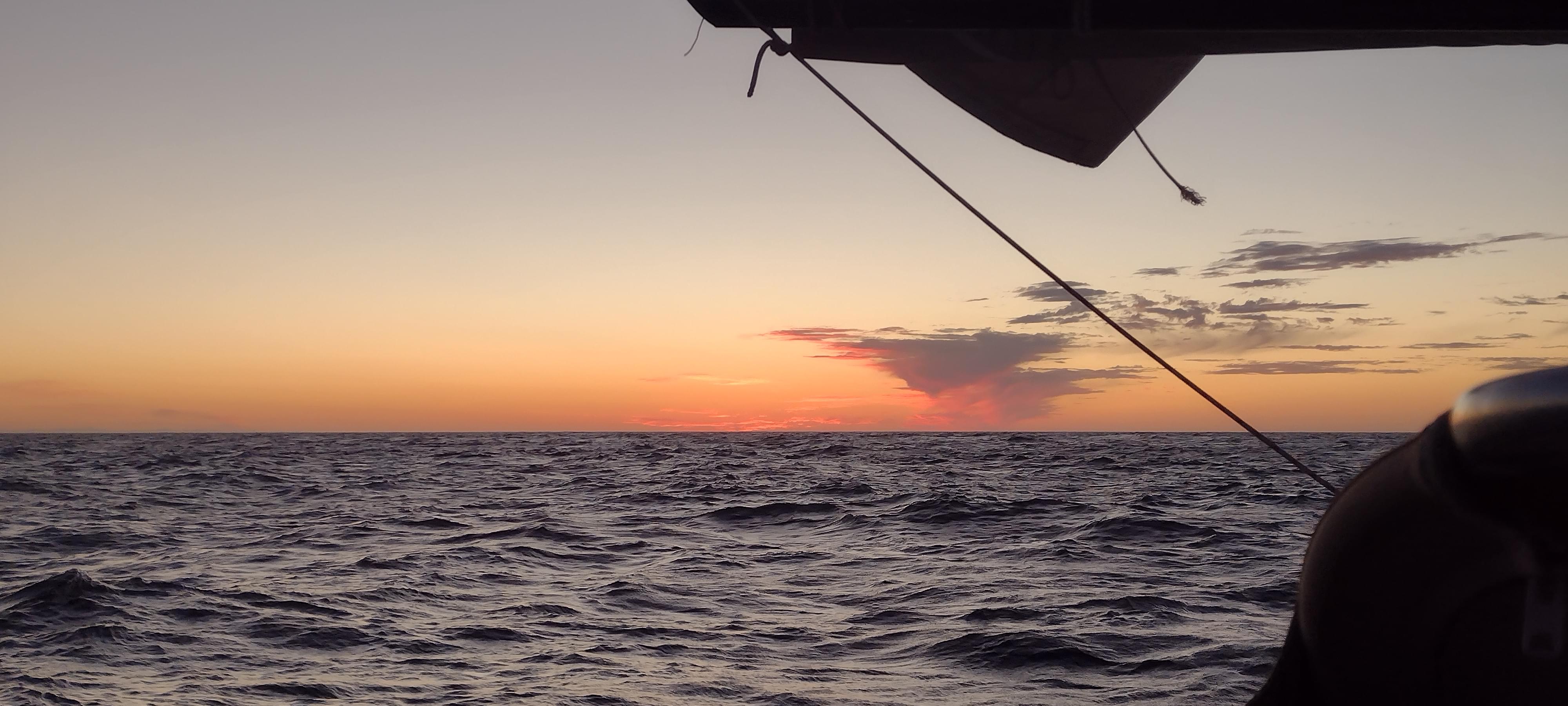
Left, right, left, right, left, right, left, right… Avocet corrects our course after every perturbation: little wind wave, large ocean swell, big wind wave, small ocean swell… One after another, the endless cycle. Soon we started our night shifts, 3 hours on 3 hours off. We are offshore but drawing a straight line on our gps track averaging 6 to 7 knots of speed over ground. The wind is steady 15 to 20 knots in the same direction carrying us down the coast. What a lovely time, we are passangers on our boat and the equipment is taking care of us.
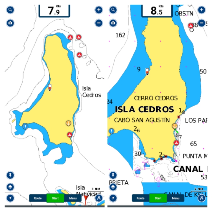
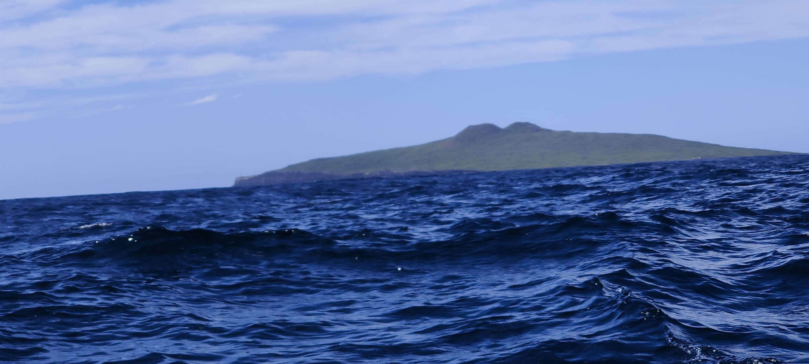
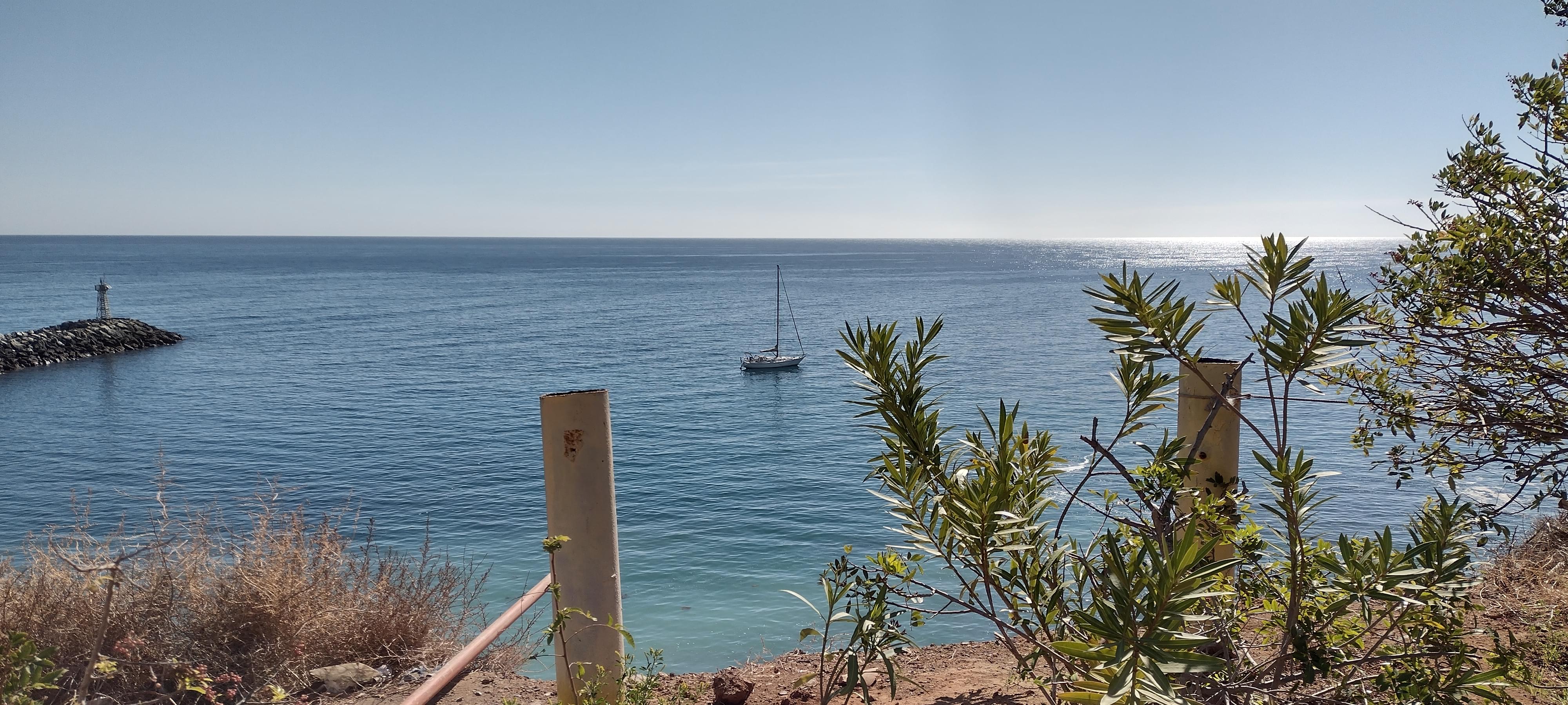
By Friday morning, we were already seeing Isla Cedros very clearly and by one o'clock in the afternoon the island was on our starboard. Here we had to make a decision: We either go to the first anchorage available to us, Isla Cedros yacht club, or keep going to Cedros village, 15 miles more South. Isla Cedros yacht club is not an actual yacht club, it's just the name of the anchorage. As far as we know, this spot is a popular anchorage for North bound sailors where they wait for fair weather before making the jump. The captain who arrives there first becomes the commodore of the yacht club, the second boat gets the first mate role and so on. When they leave, they pass on the title to the next comers. This part of the island is also very green and according to what we read, offers a compelling hike up to an abandoned mining cite and a lighthouse. The downside is that this anchorage is less protected from the swell, so it's more uncomfortable.
Isla Cedros village has a man made harbor, so when needed it can provide good shelter from winds in every direction. Plus, we heard good things about the village. Our pilot book advises going on shore at this place, even though the author sounds like actively avoiding giving advices on many paragraphs, in order to prevent getting the blame I guess. Even though the yacht club anchorage and the hike was very compelling, we decided to skip that place because that would mean spending one more day around Isla Cedros.
This also meant that at some point due to being in the protection of this island, we had to motor to make progress. If we had chosen to go to the yacht club, we could probably have gone all the way into the anchorage under sail and complete the leg with almost zero engine power. Marie was right, we should have lifted the anchor without our motor's help.
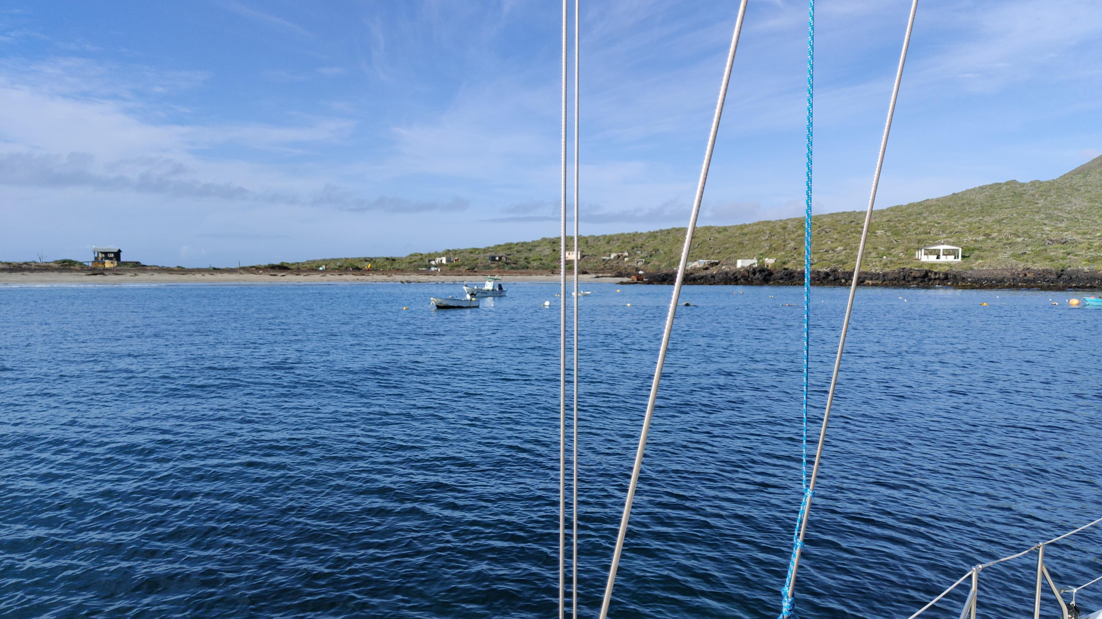
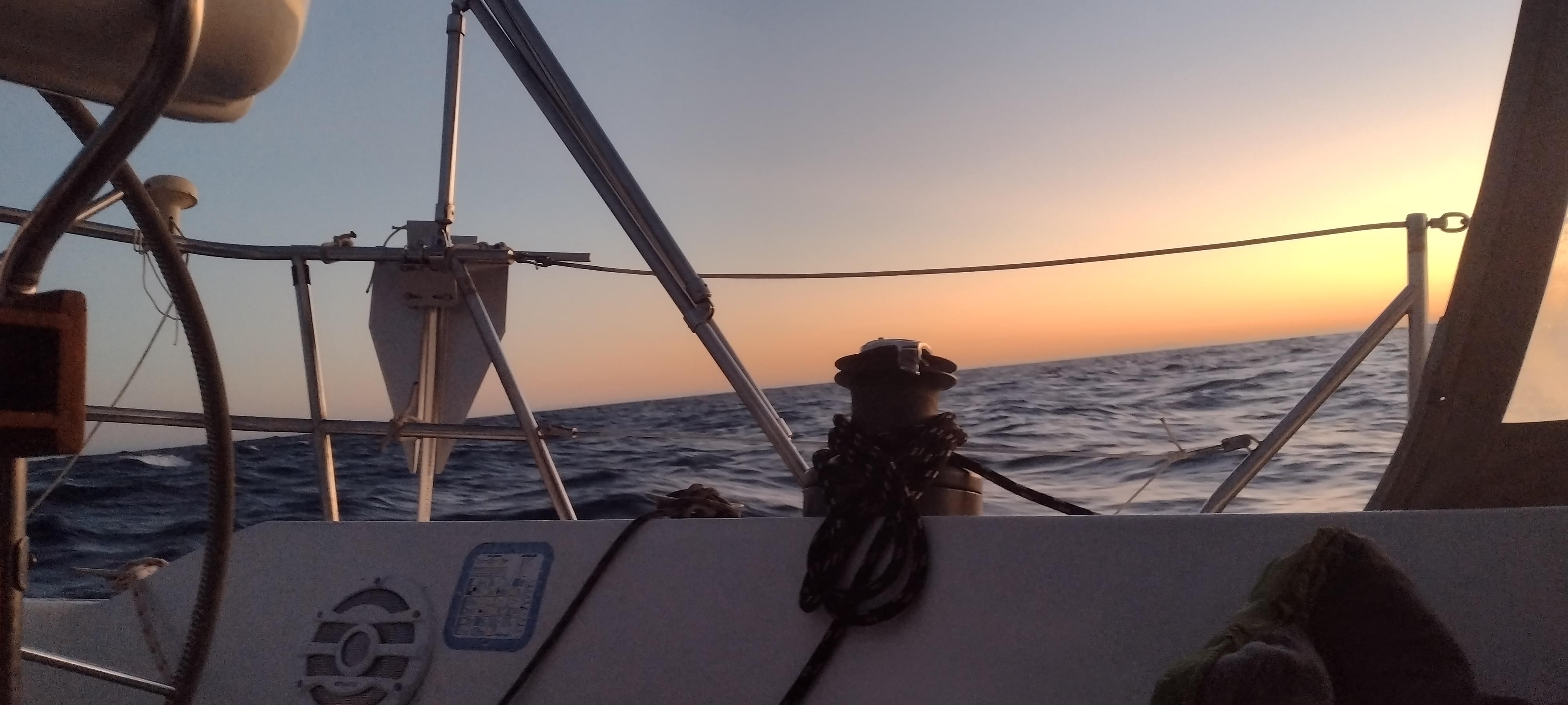
We finished the last 15 miles in shifting winds from 20 knots on our forward quarter to zero and to 15 knots on our beam to back to zero. Before the sunset, we were anchored in the South of the breakwater of Isla Cedros village harbor. A well deserved rest was due for the crew (Avocet the helmslady, Monsieur Engine, AutoNick etc.) and the passangers (Marie and Yalçın).


First lights


Or are we anchored on land?