After spending a couple of nights in Punta Balsa, it was time to get going. We had a 35 nautical mile trip planned, to Isla Parida, the stepping stone toward Boca Chica and ultimately to Pedregal. These islands were very pretty and put us in a cruising spirit. We went for a dip after setting anchor in 35 feet. Little that we knew at that time that we were not going to be able to swim for a long time...
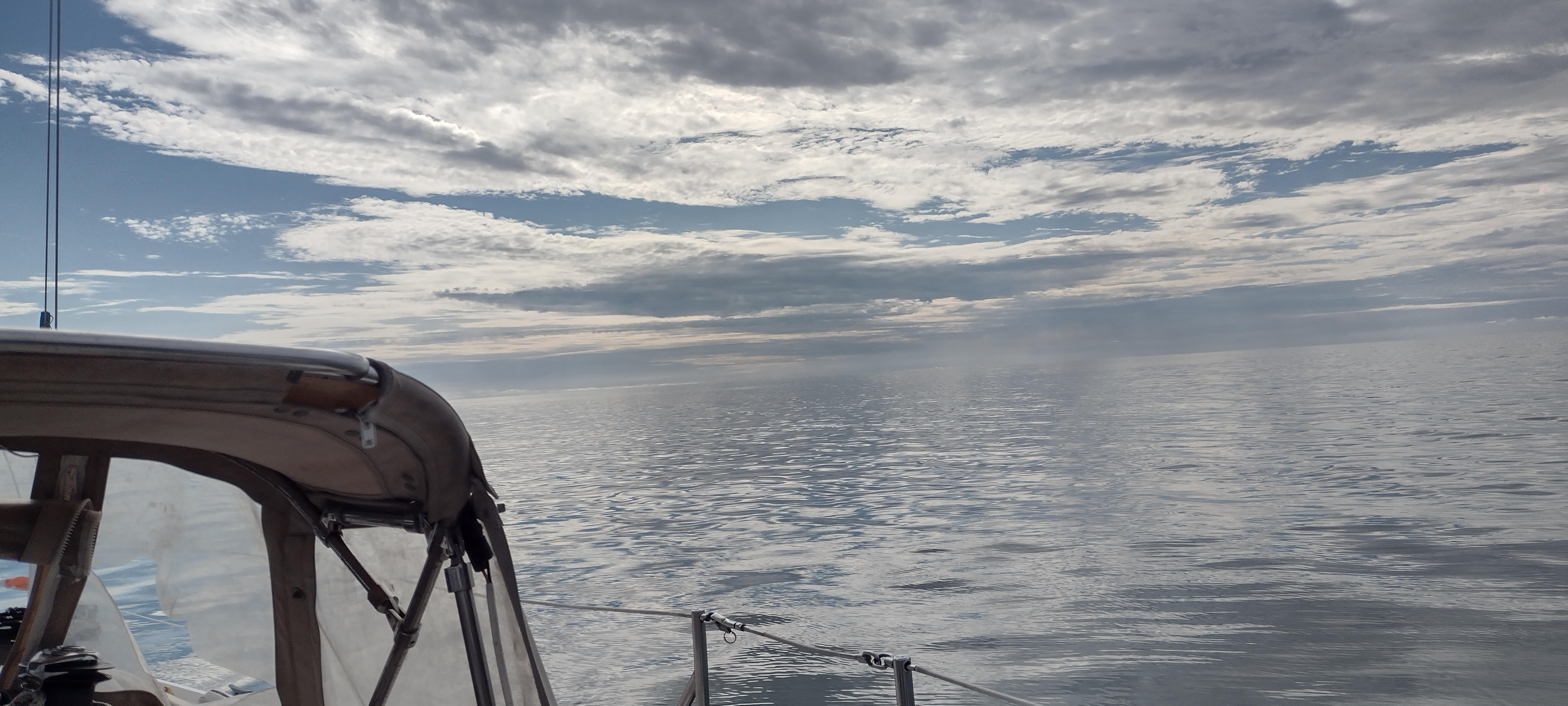

The anchorage was relatively rolly and with Marie's foot injury, it did not take much to convince us to get going in the morning. By 10:00 o'clock in the morning, we were motoring towards shallow waters.
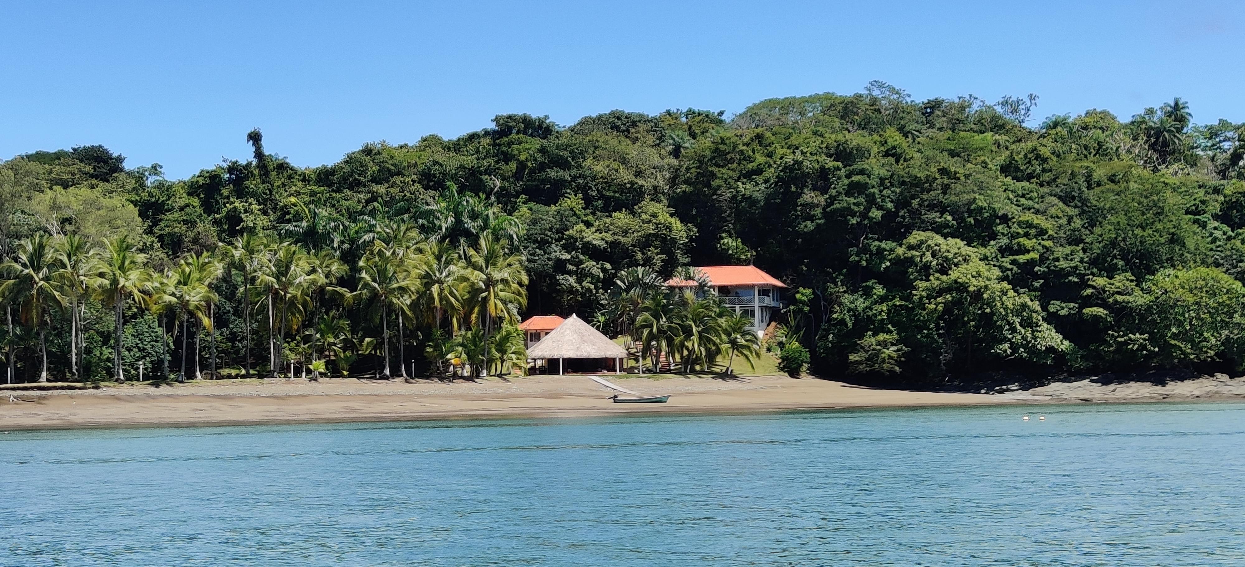
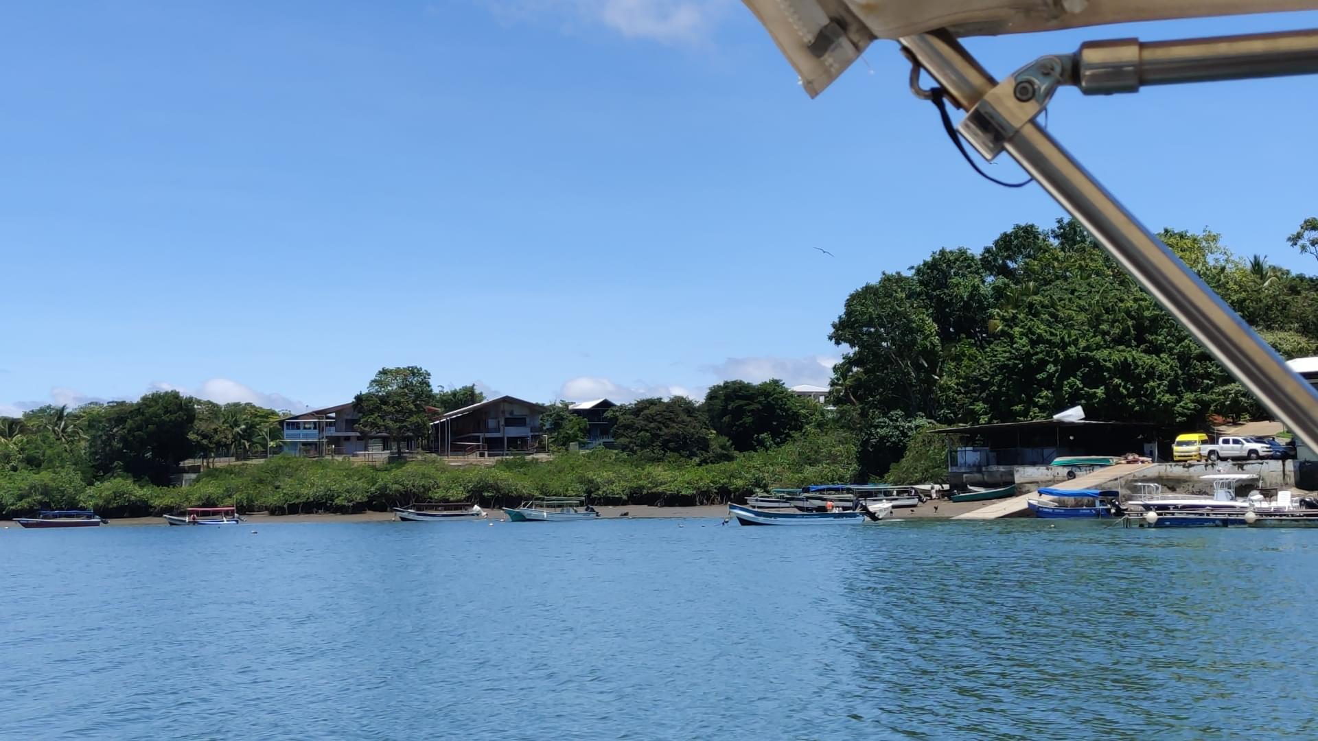
Boca Chica
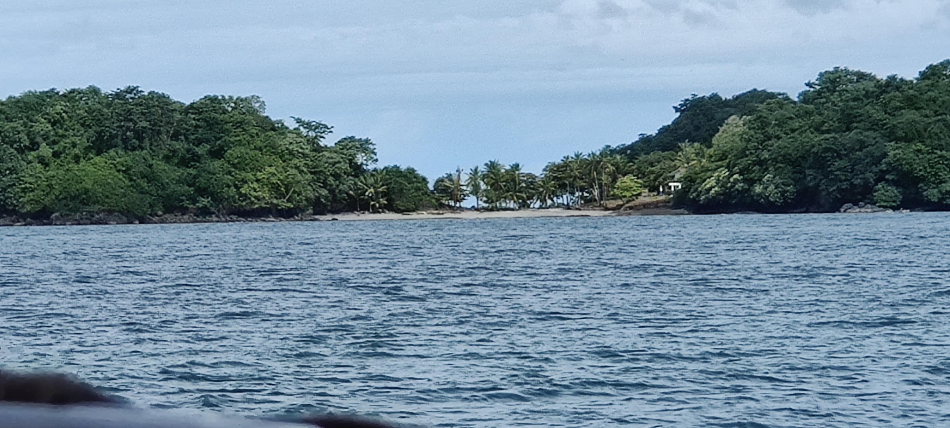
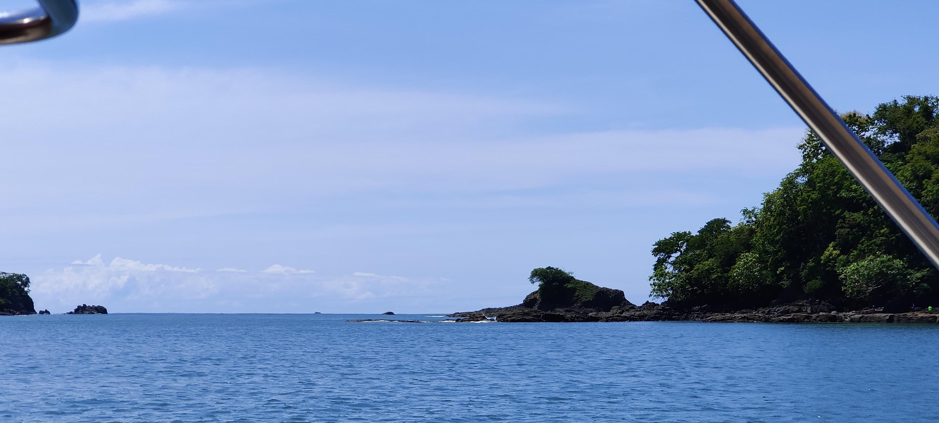
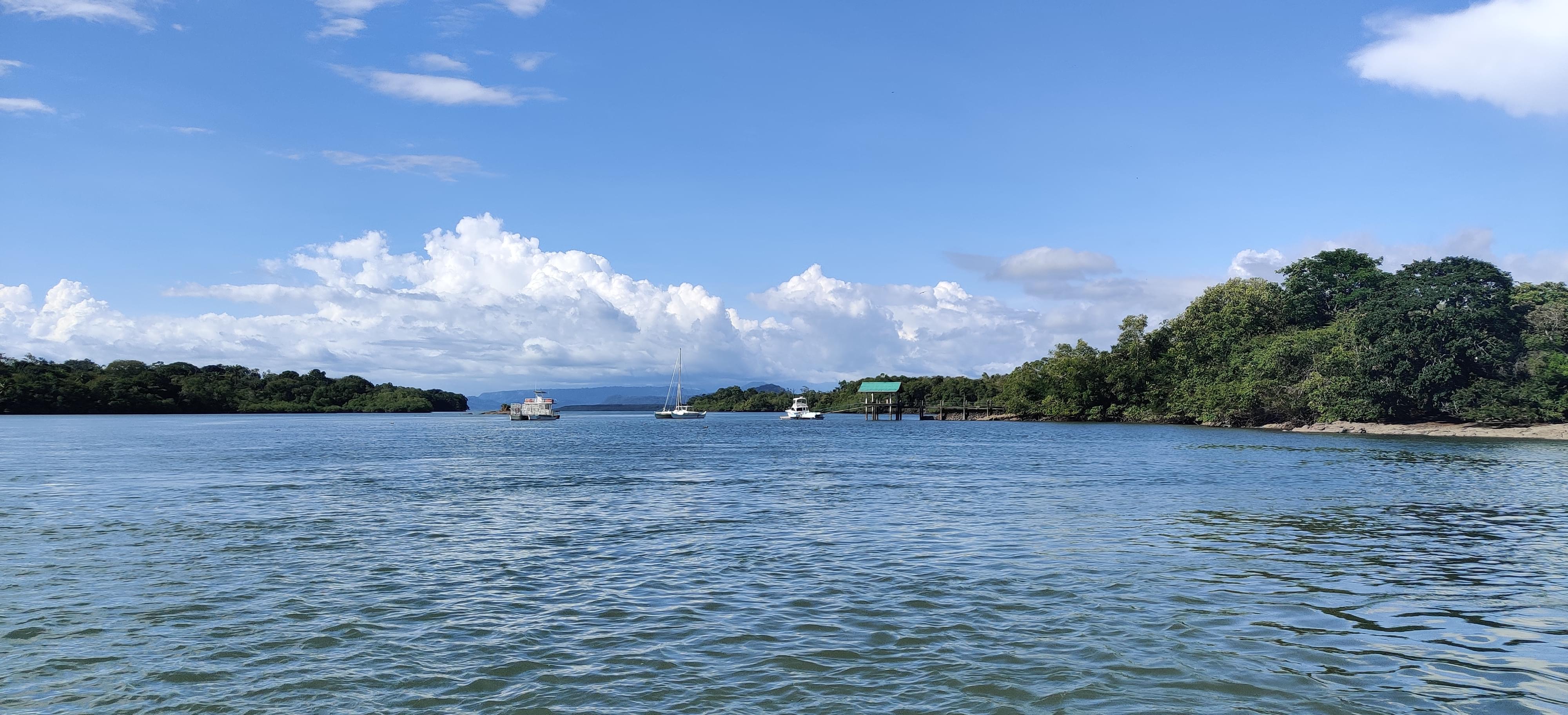
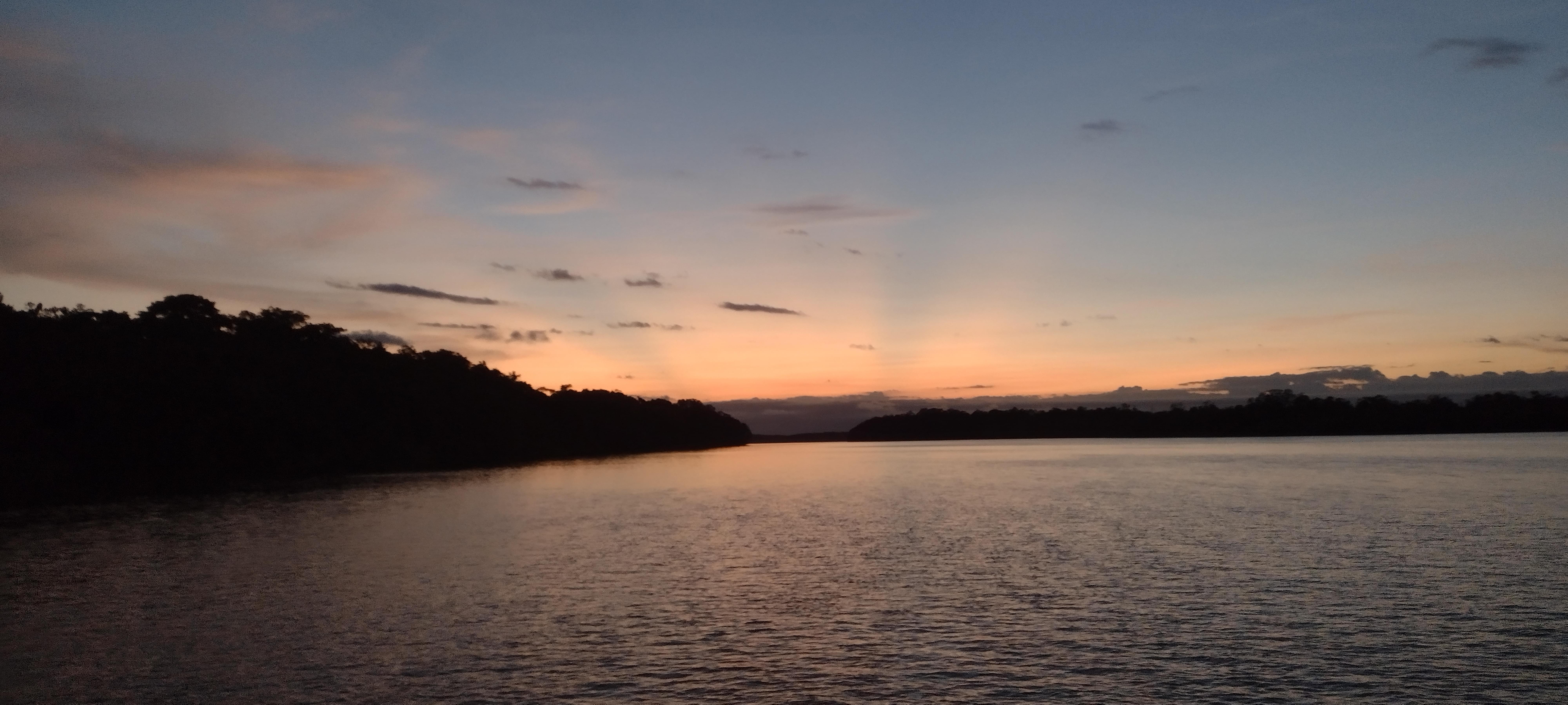
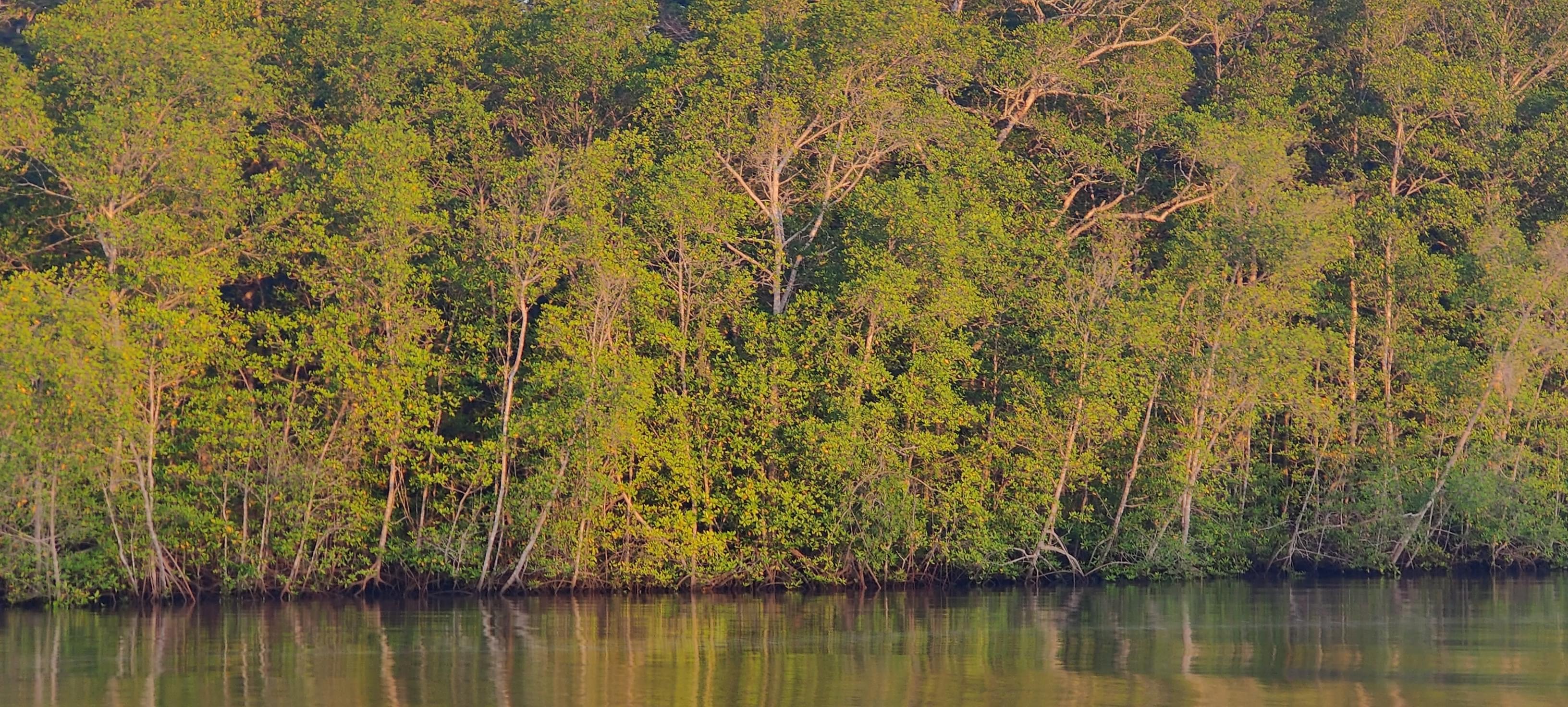
The landscape is really a gem in Boca Chica, rocky islands here and there and a snaking safe waterway towards flat water. Just as how seeing the ocean when driving a car is a sight, land is most of the time a sight on a boat. And in Boca Chica, the view is something to look at. And that is exactly how we hit our keel for the first time in this trip...
Obstacle one: Under the powerline
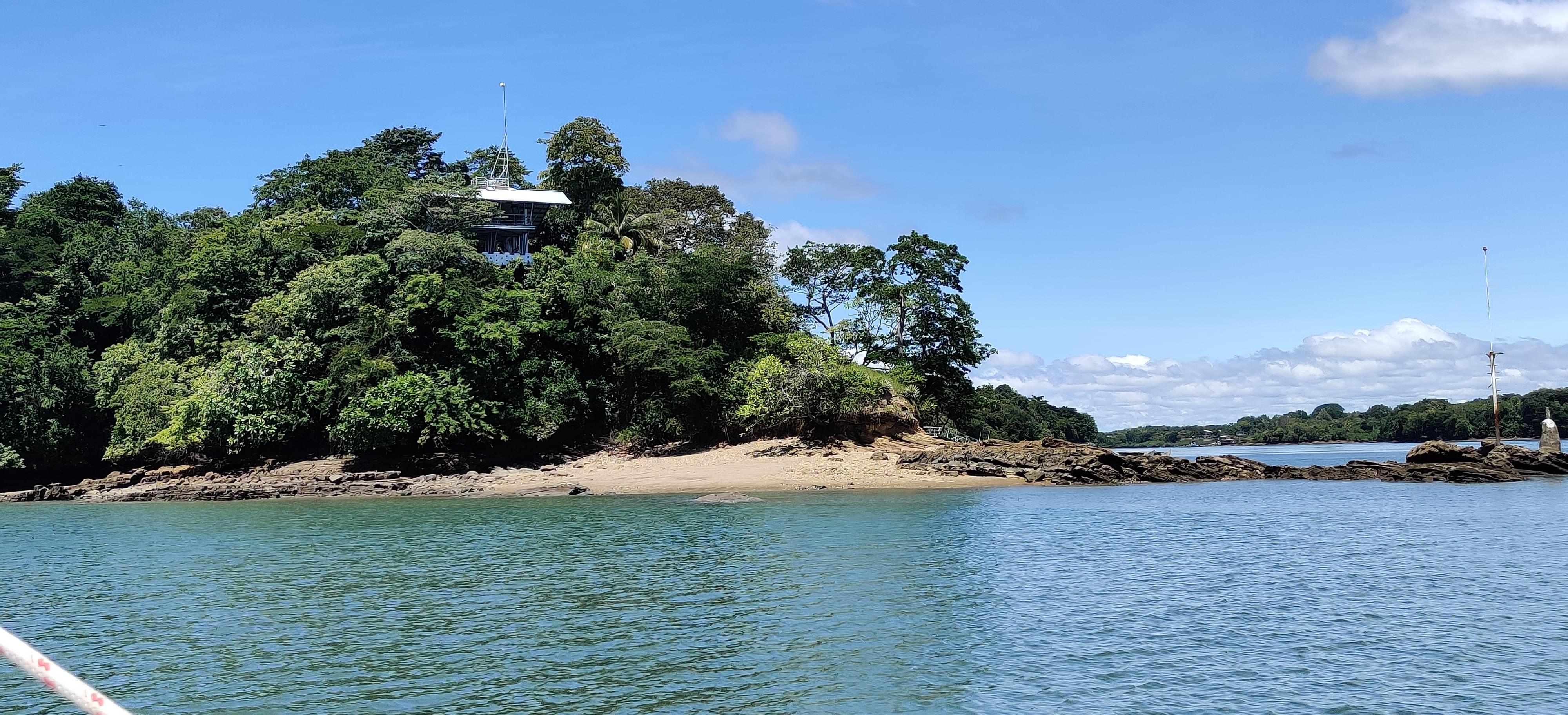
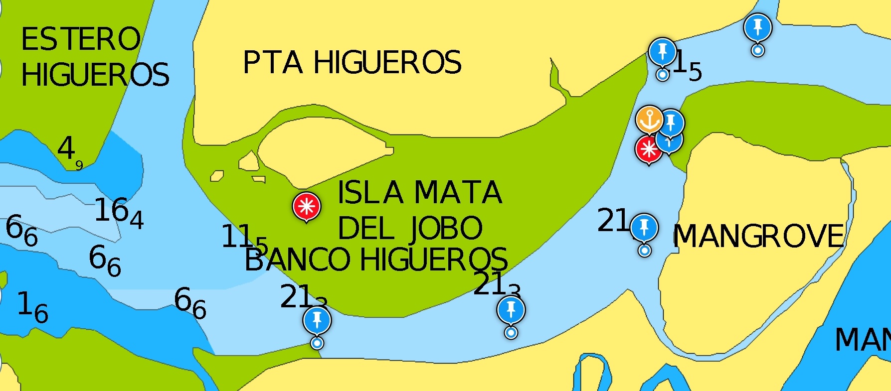
We timed our arrival to Boca Chica with low tide, and the reason was the electric cable running to Isla Brava. We had to go under this powerline which is nerve-racking with a tall mast. If the mast touches, high voltage electricty may damage the precious boat electronics. Even if there's no electricity on the line, it can still cause structural damage if we hit.
Our guide book says it has 60 feet of clearance on one side with low tide. Our mast measures 50 feet above the deck, and deck being maybe 3-4 feet above the water, this seems like a close call. The low tides are not all the same either, some lows are 3-4 feet higher than the other lows. The guide book was not specific about how low their quoted low tide was.
Due to the sagging shape of the powerline, it runs closer to the water in the middle of the waterway, hence the recommended route is going close to the shore as much as possible. Then, I got too close! Even though I backed hard seeing the depth readings drop fast, we still hit the bottom to what we think a rocky bottom. The boat was slow enough that it did not cause any damage but we still heard its loud bang. It was sobering and after that point we stopped enjoying the mesmerizing landscape and focused on the navigation.
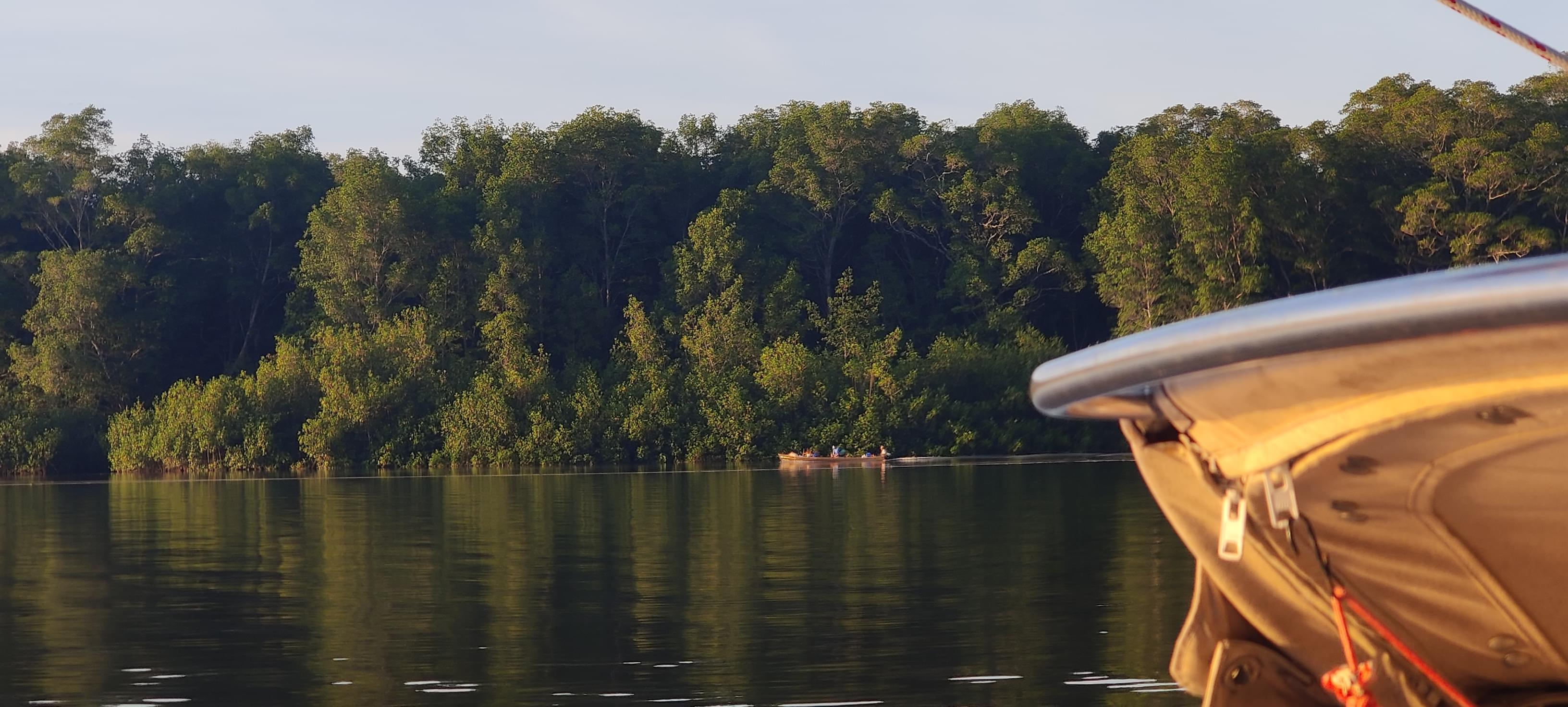
Crossing under a powerline can be really nerve racking. From the boat, it's impossible to judge if the cable is high enough, until you actually pass it. We were going very slowly, hesitating and trying to judge the height when a fisherman panga came close and warned us about the reef ahead of us. "We know about the reef, thanks. We're more worried about the cable right now". The powerline was between us and the reef and the reef was very well charted. The fishermen, from a bit further, had a better vantage point and they assured us that we were clear to go under the line. We then, motored forward. I remember taking my hands off the wheel and closing my eyes as the boat came close to the line. After a second, we were through!
Waiting for the tide
We anchored in front of the restaurant. We were going to wait for the tide to come up half way and get going. We had some food and waited anxiously. The trip to Pedregal is about 20 miles and it's better broken into two legs, timed with rising tide. The passage is not well charted and the waypoints we got from the guide book (52 points snaking through the mangroves) are old. The guide book says "These waypoints are not a safe water route", you might find a sandbar along them as the sandbars shift over time.
While waiting for the tide to rise, let me briefly talk about the tide cycle basics. Tide cycles roughly follow a 12 hour period (a little bit more than 12 hour), which gives about 6 hours between the low and the high. Every day, the whole cycle shifts roughly by one hour, so if the high tide happened at 17:00 today, tomorrow it's going to be roughly at 18:00. It takes roughly a month for the tides to happen at a similar amplitude at a similar time (which makes sense since the whole tidal change is mainly driven by the moons gravitation).
As the tides shift in time during a month, their amplitude also changes. The high tide is not always at the same height.
The guidebook recommends making progress only with rising tide, after the water is mid level. This leaves us only three hours in a roughly twelve hour cycle. First day, our three hour window was around 3 to 6 o'clock in the afternoon. The second day, it was going to be 4 to 7. Our window of progress was coming pretty close to sunset time...
This was unfortunate because after these two days, if anything goes wrong, we would need to wait until the mid rising tide happens in daytime in the morning, instead of before sunrise. The tide amplitudes were also getting smaller as the days pass. The high tides becoming lower and lower, waiting more was going to make this challenging passage even harder...
Alright, it's time to go
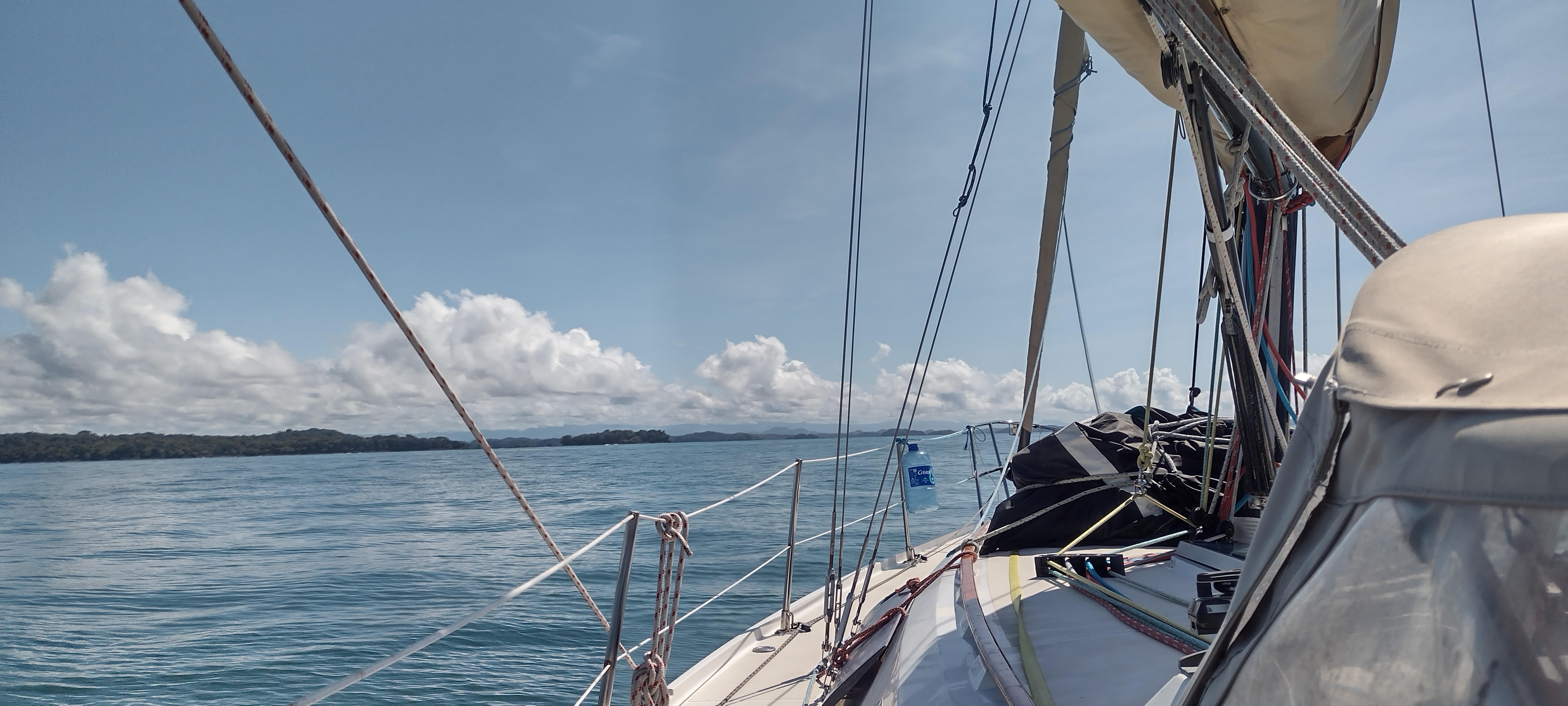
We started following the waypoints our guidebook provided. The current was strong in some parts and weak in some others. The direction was also not always behind us (surprise to me as we were going inland with the rising tide).
The beginning was shallow, and we were moving very slowly, ready for a soft sand grounding. Navionics charts had depth markings uncomfortably low. We motored over depth markings of 1 foot (they are low tide soundings). They were not super accurate but it was good to give a nice overview of the bottom.
When we got to a more comfortable deeper water, we were already one and a half hour into our first stage and only covered 4 miles. We need to go faster because we do not want to be moving when the tide changes.
The worry is that if we ground the boat with a falling tide it's much more problematic than when we ground with a rising tide. Even if we're stuck so badly that engine fails to break us free, with rising tide, we'd have time to try something else, maybe set up an anchor and winch that line. And if the tide is still rising, it should get easier with time, at least theoretically. The tidal change is more than 7 feet so that means if we get stuck at high tide, the boat is entirely going out of water with low tide, leaning to its side. This would definitely severely damage the boat. Better be in safe waters when the tide changes, so we better hurry up.
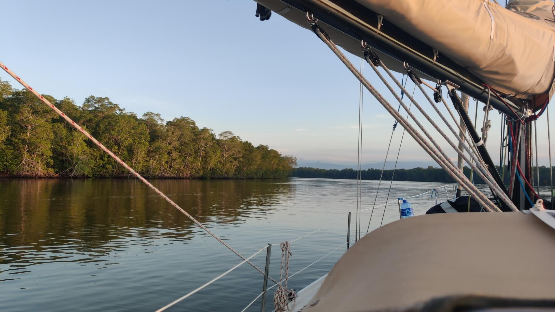
Fortunately, the beginning was significantly more shallow than the rest of the trip. We snaked into the mangrove and with sunset, enjoyed some beautiful colors in the trees. This is the first time we are cruising in a river and it's a treat to the eye.

We anchored in 25 feet before the tide changes and before dark. When the engine stopped, our ears also got the treat of nature. Mangroves are alive, we can hear them.
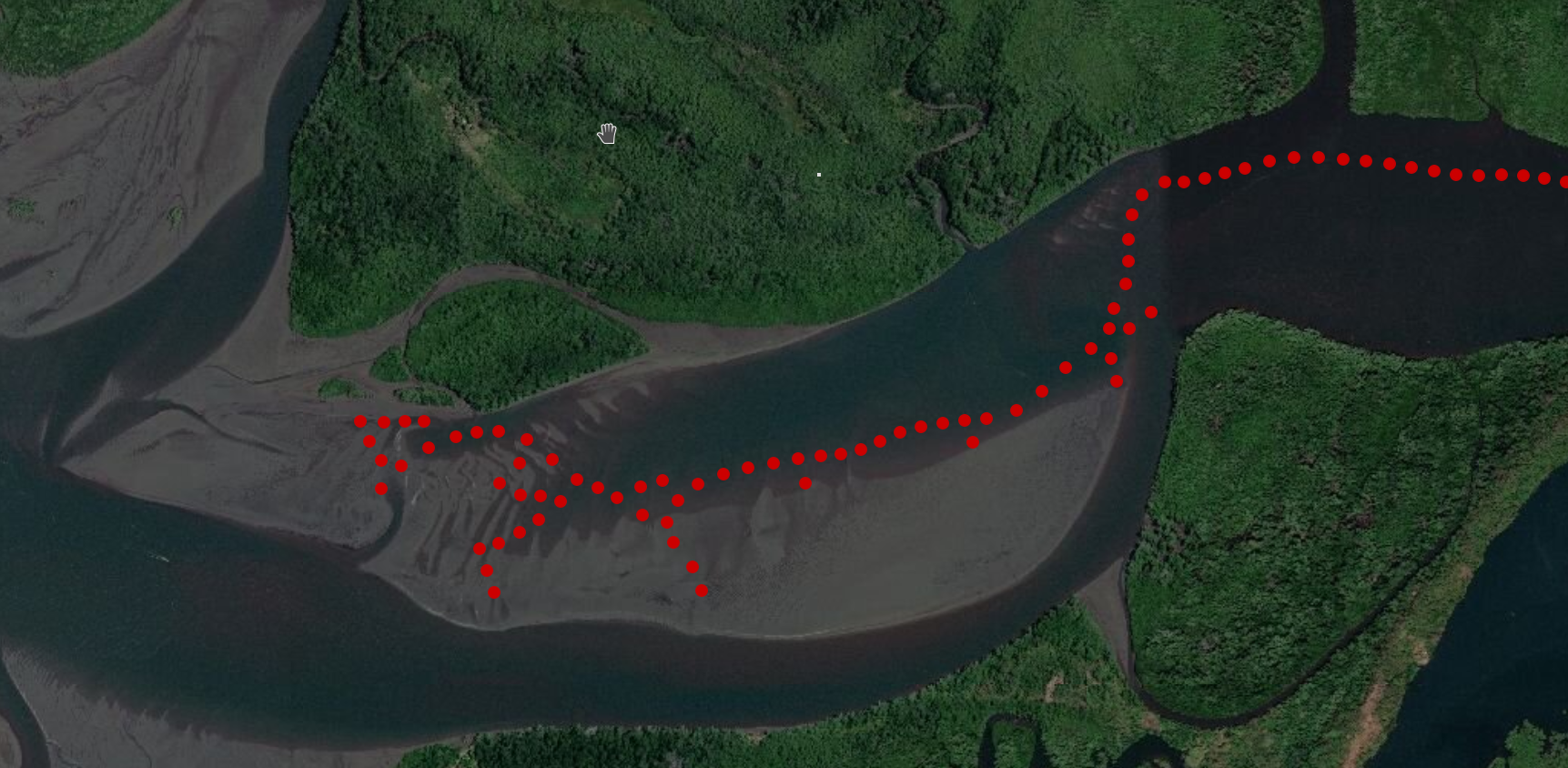
Here is the track of the first day
The second day started well
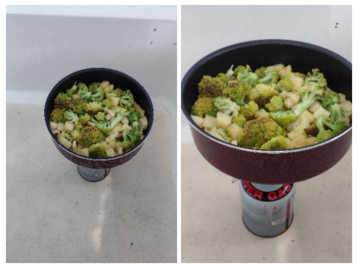
The second day, we waited until it's time. But meanwhile we did something a little different: we camped on the boat!
But then, the EVIL banks!..
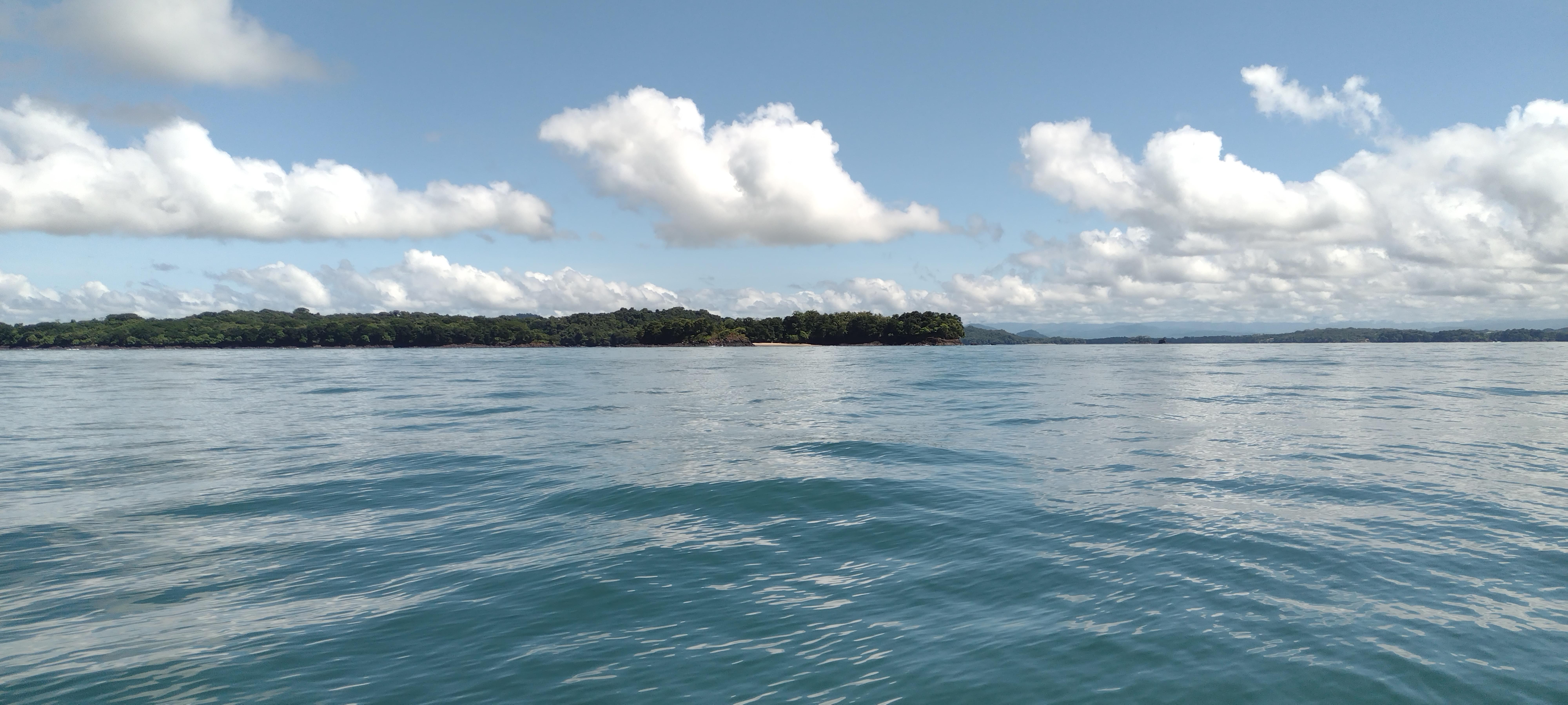
The plan was to lift anchor at 15:30 and try to reach Pedregal before sunset. After the first day's experience, we knew better how to read our charts, or we thought we knew better. The second day's passage looked harder towards the end where there are a lot of shallow spots marked on the chart. The first couple of hours we expected no significant problem area. We wanted to take into account a very slow progress towards the end, hoping to move the first parts relatively quickly. This was not what happened!
At around 15:30, we lifted the anchor and started motoring. To our surprise, the water was shallower than we expected, in single digits in feet. We made slow progress towards the first large opening. We had to cross the river, according to the waypoints from the guidebook and hug the coast on the other side. That's when we ran aground for the first time, very gently at a slow speed. We crossed from the North coast to the South and came pretty close to the mangroves and found the bottom. The waypoint we were trying to reach was a bit closer to the mangroves but we felt we were already close enough. Remembered the words: the sand moves...
We reversed the engine and got free of the soft bottom, Okay, we are probably close enough to the waypoint, let's go to the next. After 15 minutes of motoring, we came close to the next waypoint and found the bottom again. The boat stopped and we had to back again. We failed to reach to the waypoint in the South. This is a large body of water and we can almost see the ocean on the horizon. Yet the waypoints are trying to take us closer and closer to the mangroves. Maybe we can just motor out of this area and meet the waypoints in the next narrow section?
We started motoring due West, hoping to get out of this 1.1 nautical mile patch and meet the waypoints skipping 4 of them. We ran aground countless times, everytime feeling very close but not managing to go out. We used all of our 3 hour window here and made almost no progress. The tide was all the way up now but still even with +7 feet tide this sand bank was not deep enough. At this point it was clear that we were going to anchor one more time and stop trying to go more. We do not want to run aground with falling tide. But just with the last minutes we have, how about we try to go back to the line between the waypoints? Maybe with the tide being its highest that path is open now. The answer was no! We ran aground on the straight line between the waypoints even with the highest tide. We were desperate! Sun was down and darkness was upon us!
We made a quick decision to not go back to the anchor waypoint where we stayed the previous night. Instead, we found deep water to anchor in this sand bank, it was close to where we ran aground for the first time. The situation was worrying. The next day, half of our 3 hour window is going to be after sunset at night and the high tide will not be as high as today. The other 3 hour cycle was half before the sunrise, starting around 4 AM in the morning. We decided to do something a bit adventurous.
Of course one of the options we had to evaluate was going back. There may just be no passage here, what if that's the case? For Marie's physioterapy, we had to go to a big city and we were so close to David. For now, it's too early to admit the defeat, we needed to try harder before that.
A night mission
Here's the new plan. The low is around 01:00 o'clock at night. We should have a decent moonlight, if the thunderclouds permit. I am going to explore the area with the kayak and find the deep water. Some of this area should just dry out, or almost dry out with low tide. It should be easy to find if there's deep water. If I cannot find the bottom with the long paddle at the low tide, it should be deep enough for Tire-bouchon's keel in mid high tide. We had a busy night ahead of us, so we tried to get some sleep.
Half hour past midnight, we got up and the sky was open. I got into the kayak and started rowing towards the mangroves. Are there crocodiles here? No, not tonight! I move a few strokes and dip the paddle in water, no bottom here! Go more towards the mangroves, and all deep. Maybe this is not working? I paddled to the exact spot where we ran aground first time and the paddle finds the bottom with its half length, bingo! I moved back to the deep water and marked the coordinates on my smartphone. The lesson was also clear, the deep water is right next to the mangroves, we just needed to stay even closer to shore. I came back to the boat and the verdict was that we go before the sunrise. There's enough moonlight and we already sort of know this area, we saw it in daylight. After leaving this sand bank, we are expecting to have a large body of deeper water and after crossing that we will hopefully have the sunlight by then.
A red sky and a happy ending
We tried to get some more sleep and at 04:00, we lifted the anchor. Heading towards the new waypoints that I added, we found 20 to 30 feet of water. We were staring at single digits the last time. From then on, we motored closely to the mangroves when the waypoints called for and were not scared of being too close. It worked very fine, we made a great progress at night, moonlight was bright and relieving. When we started working our way up North in the narrow snaking river, the sky went red with the rising sun. We turned off our navigation lights and kept hoping for no more sand banks.
The last few miles of the river seemed to be shallow on the charts but we had deep water almost all the time under the boat. Once or twice, we slowed down the boat to below 2 knots on the expectation of a grounding but it did not happen. The lowest we saw was maybe 8 feet.
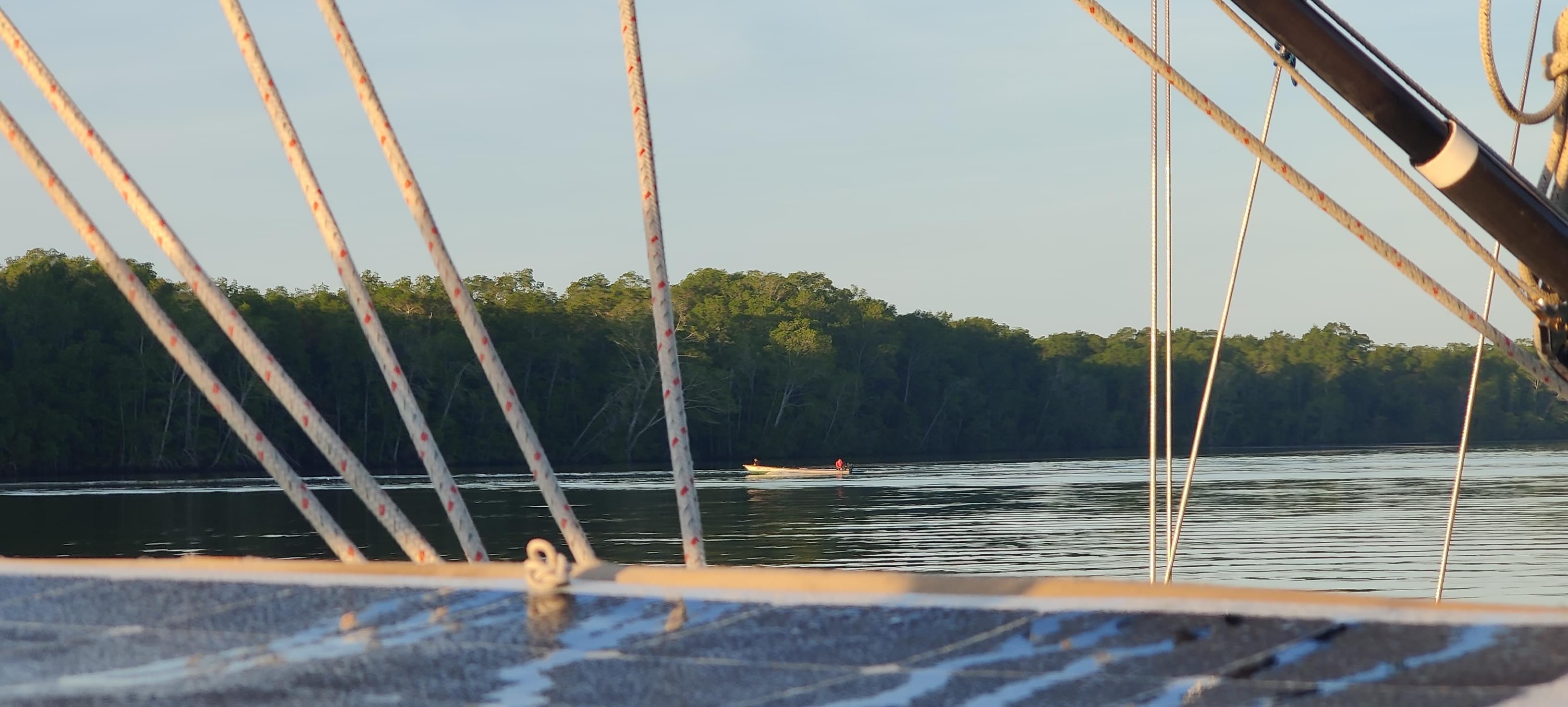
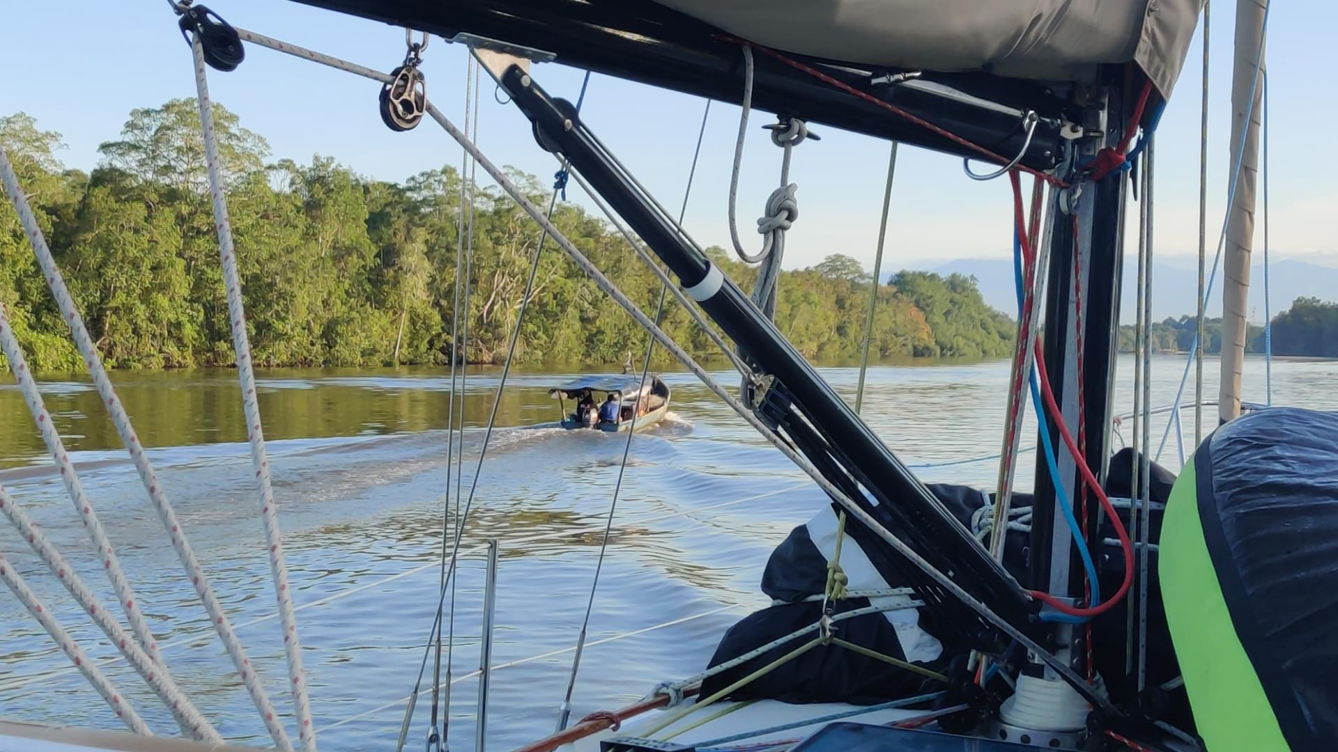
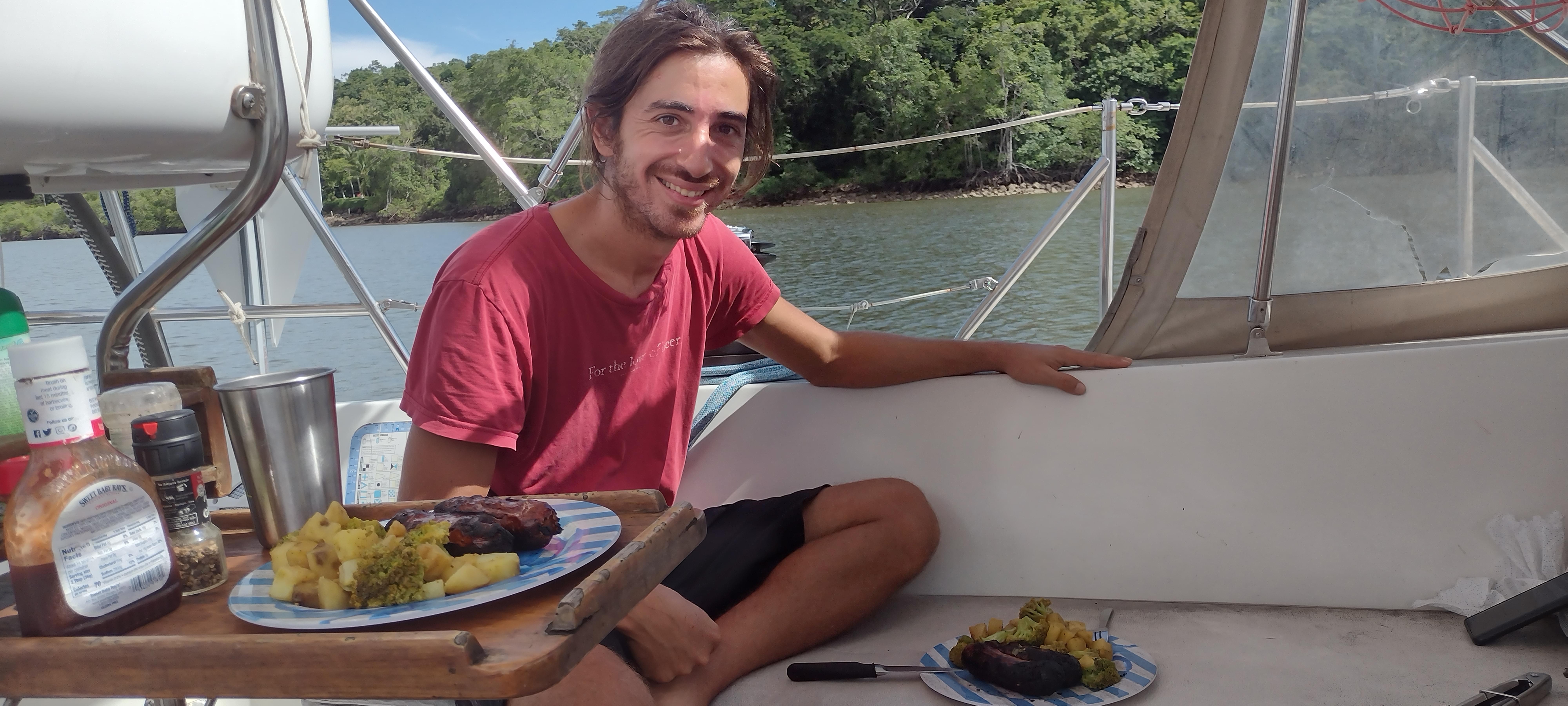
When we turned the last corner, we had already saluted a few fishing pangas starting their days. The sun was brighter and the day looked beautiful, with the buildings of Pedregal in sight. This gave us hope, we were arriving to more than just a port. This was where Marie will relearn how to walk and we had just completed one of our most intense nights on Tire Bouchon in order to reach here.